Listen to your soil
Field sensors measure moisture and local weather. See when the ground is drying out and check whether your crops need water.
“Does this field need watering?”
SMART FARMING. CLEAR DECISIONS.
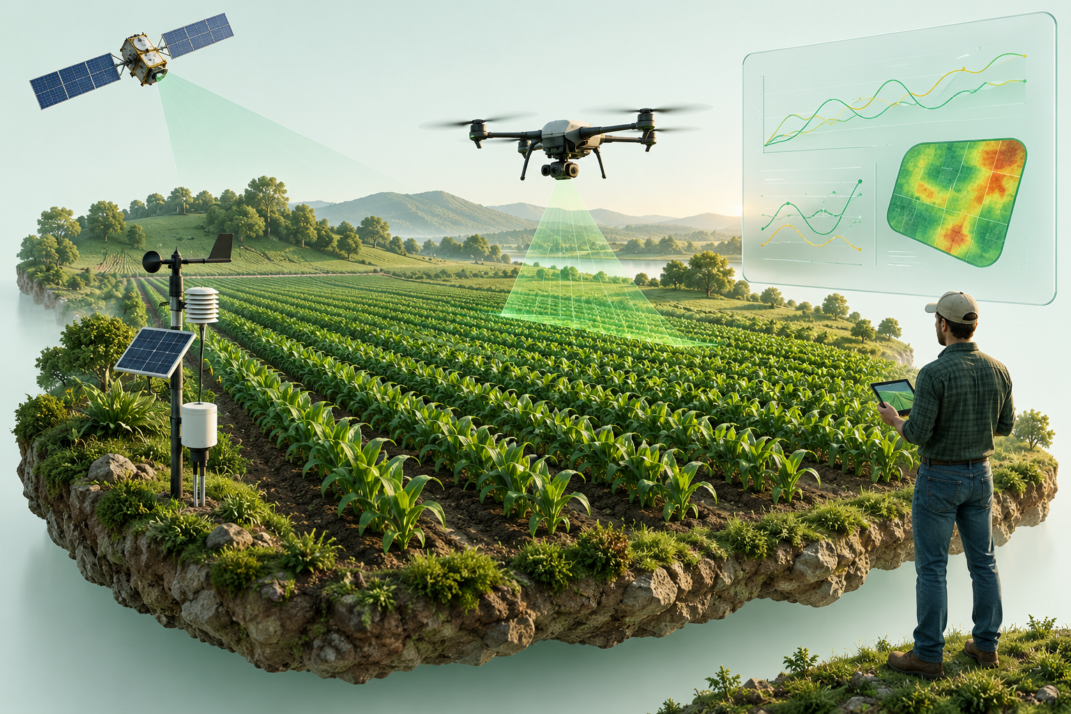
Soil sensors measure moisture. Satellite and drone images show changes across your field.
SMART TOOLS. PRACTICAL ANSWERS.
You know your land. We help you see the changes that are easy to miss—so you can focus your time, water and inputs where they matter.
Field sensors measure moisture and local weather. See when the ground is drying out and check whether your crops need water.
Satellite images show changes across the farm. Drone images give a closer look at patches that need attention.
AI and machine learning look for unusual changes in images and sensor readings. An agronomist helps turn those signals into practical next steps.
FROM A SIGNAL TO A SIMPLE NEXT STEP
Technology should explain the problem clearly. Explore examples of how field data can help you decide what to check.
Illustrative examples—not live readings or crop diagnoses.
The soil sensor shows less moisture than the usual range for this field.
THE BIG PICTURE. THE CLOSE-UP.
Satellite imagery helps compare broad changes over time. Drone imagery helps inspect specific areas in more detail. Combined with soil readings and a field visit, they help narrow down where a problem may be developing.
Spot patterns across your land.
Take a closer look at crop condition.
An unusual patch may have several causes. Field checks help confirm what is happening before treatment.
ROOTED IN THE SOIL. DRIVEN BY SCIENCE.
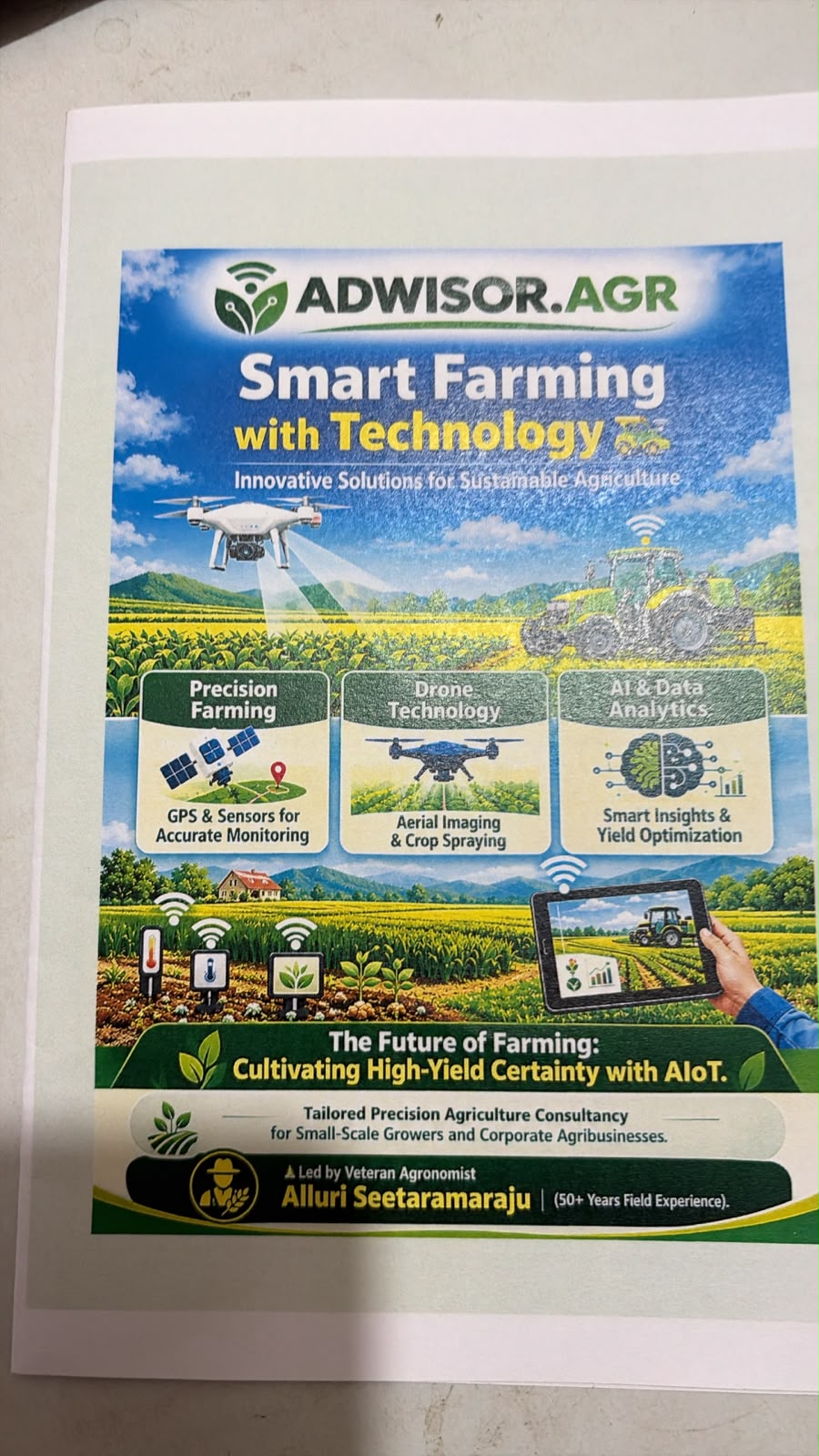
Led by Alluri Seetaramaraju, Founder & Chief Agronomist, ADWISOR.AGR brings over 50 years of hands-on field experience to precision agriculture.
From vegetables and horticulture to commercial crops and oil palm plantations, our approach starts with the crop, the soil and the farmer—not just the equipment.
A PLAN THAT FITS YOUR LAND
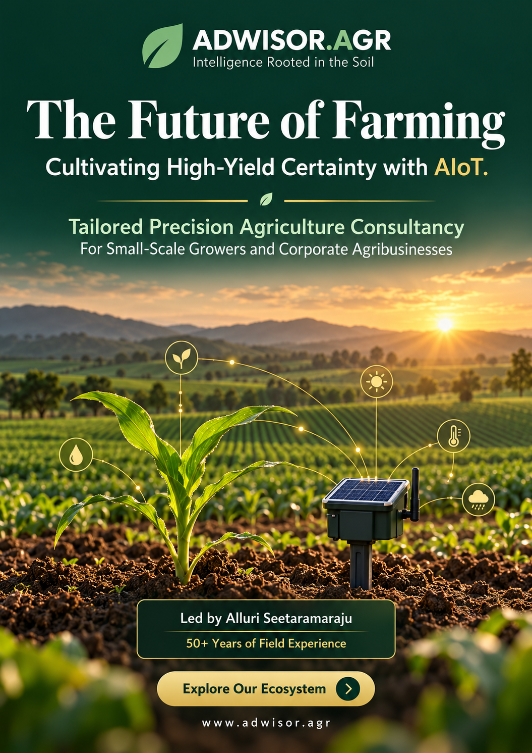
Focus on the most useful measurements first, practical phone-based insights and a setup that fits your farm and budget.
Bring multiple fields into one view, explore irrigation automation and coordinate monitoring across your operation.
Understand your soil, crops, water and connectivity.
Choose the right sensors, imagery and advice.
Install, calibrate and show you how to use the system.
Review the insights as your crops and seasons change.
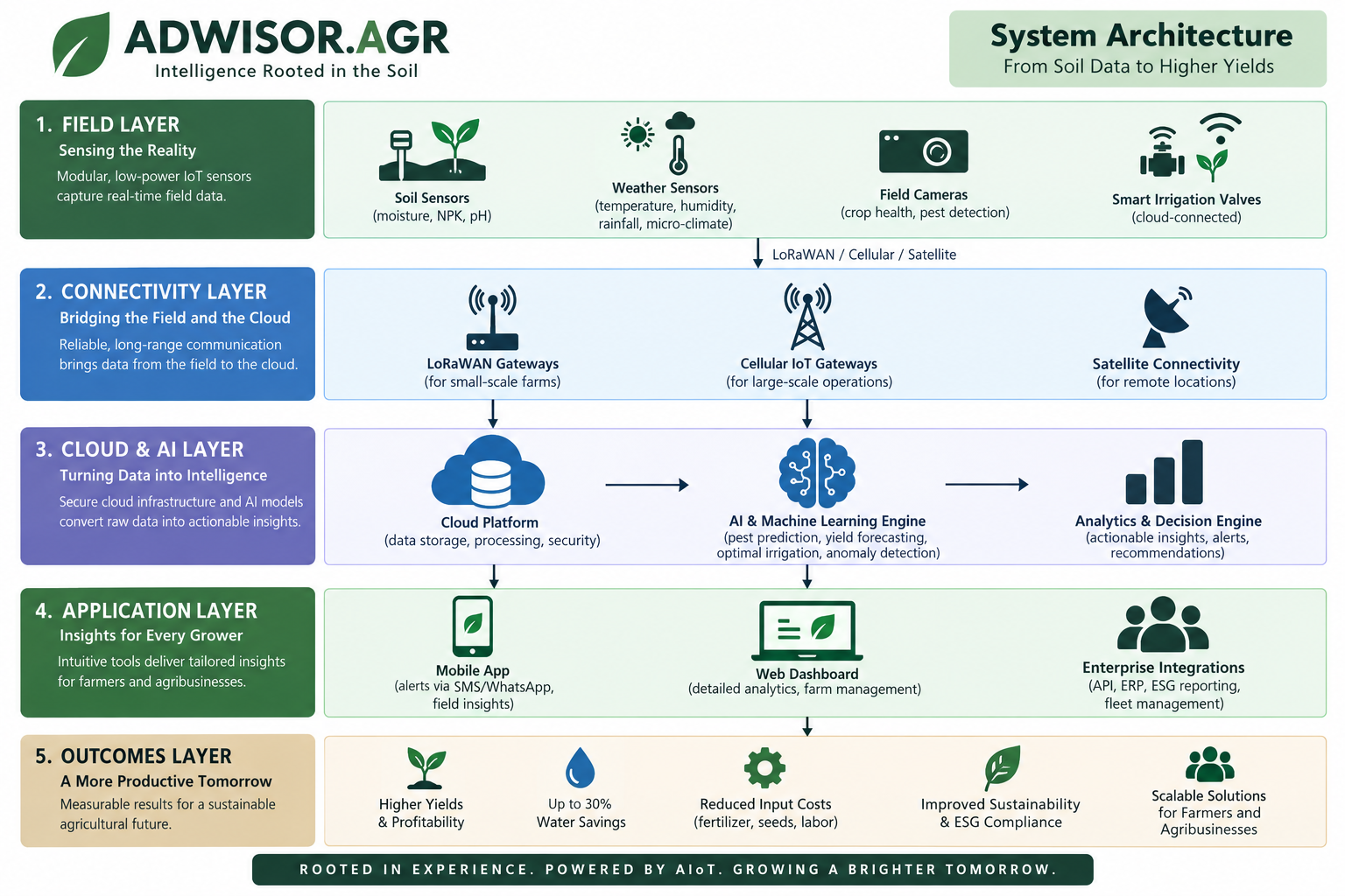
Supplied overview of the proposed ecosystem. Equipment and results depend on the farm and deployment.
LET’S START WITH YOUR FARM
Ask about a complimentary tech-readiness assessment. Tell us what you grow and the challenge you want to solve.
Flat # G-2, Ambika Residency
H.No. 3-4-1013/6, Rajendra Colony
Barkatpura, Hyderabad – 500 027
Telangana, India